Lake-by-Lake Route Guide
All 13 stages from the Registration Centre back to Bowron Lake — portages, paddling times, and where to camp.
On this page
The circuit is 116 km of lakes, rivers and portages, and it unfolds in a natural sequence — thirteen stages, each with its own character. This is the route as we describe it across the counter at the Registration Centre, with distances, honest time estimates, and where to camp each night.
Time estimates assume a loaded canoe at a typical 4–5 km/h in calm water — wind changes everything, so build slack into your plan. Campsites are marked on the water with yellow markers, river and slough channels with orange markers, and you’ll get a park map at orientation. Tent pad counts for every site are in the campsites guide.
1Registration Centre to Kibbee Lake
Paddle 2.4 km
2–3 hrs
Camps #1–#2
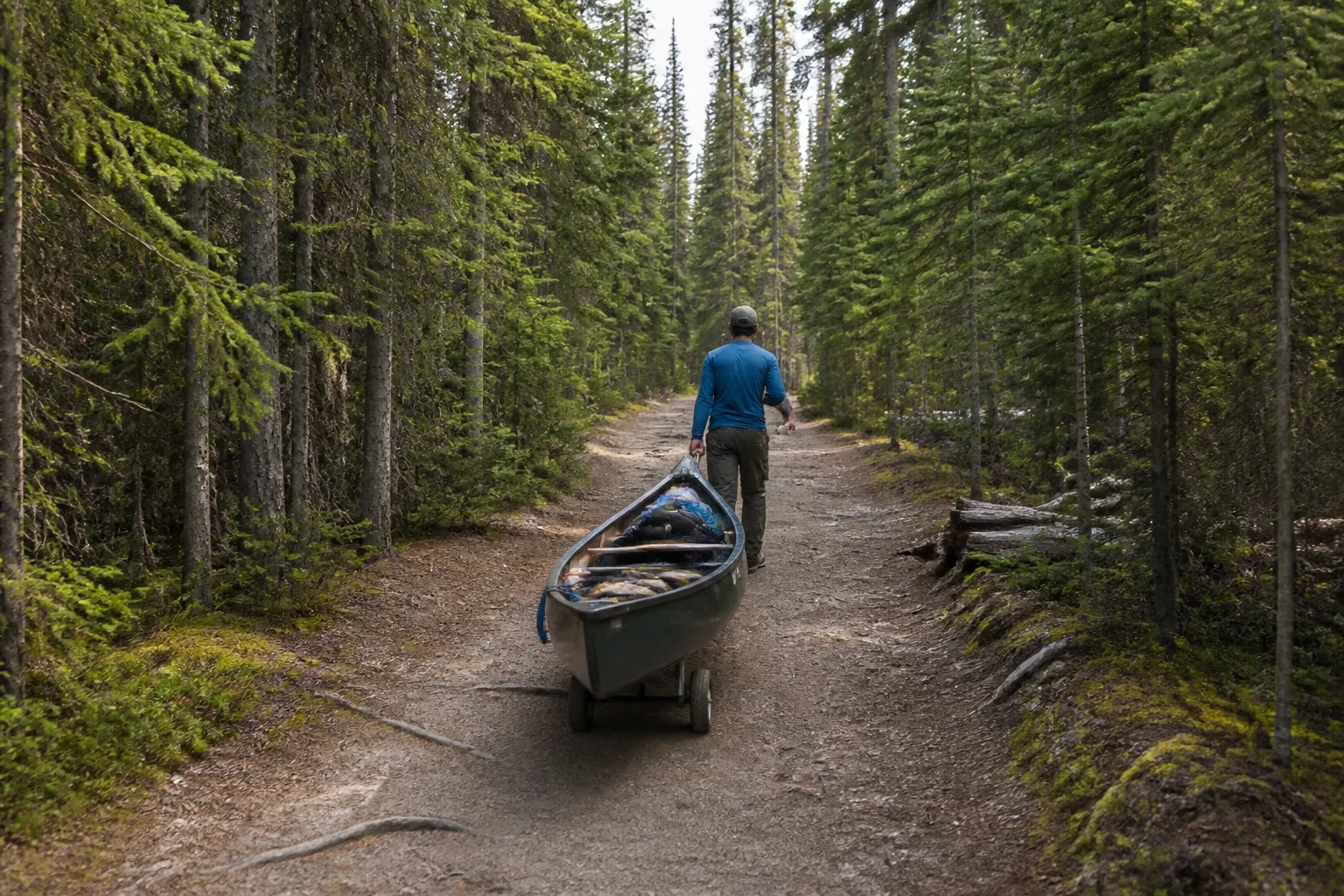
Your trip opens with its longest portage: 2.4 km of ups and downs (it always feels like more up than down) on a trail that can be bumpy in places. It’s the perfect stretch to dial in your cart technique — one person towing on the bow line, one steadying the stern — because it genuinely gets easier every portage after this.
Fill every bottle at the tap beside the Registration Centre before you set off. You’ll want that water long before Kibbee Lake.
The put-in at Kibbee is shallow and a little swampy — swap into your water shoes and expect to wade a few steps. Kibbee itself is a small, usually calm 2.4 km lake with one individual site (#1) and one group site (#2). Most parties arrive with plenty of day left and carry on toward Indianpoint.
2Kibbee Portage & Indianpoint Lake
Paddle 6.4 km
2.5–3 hrs
Camps #3–#9
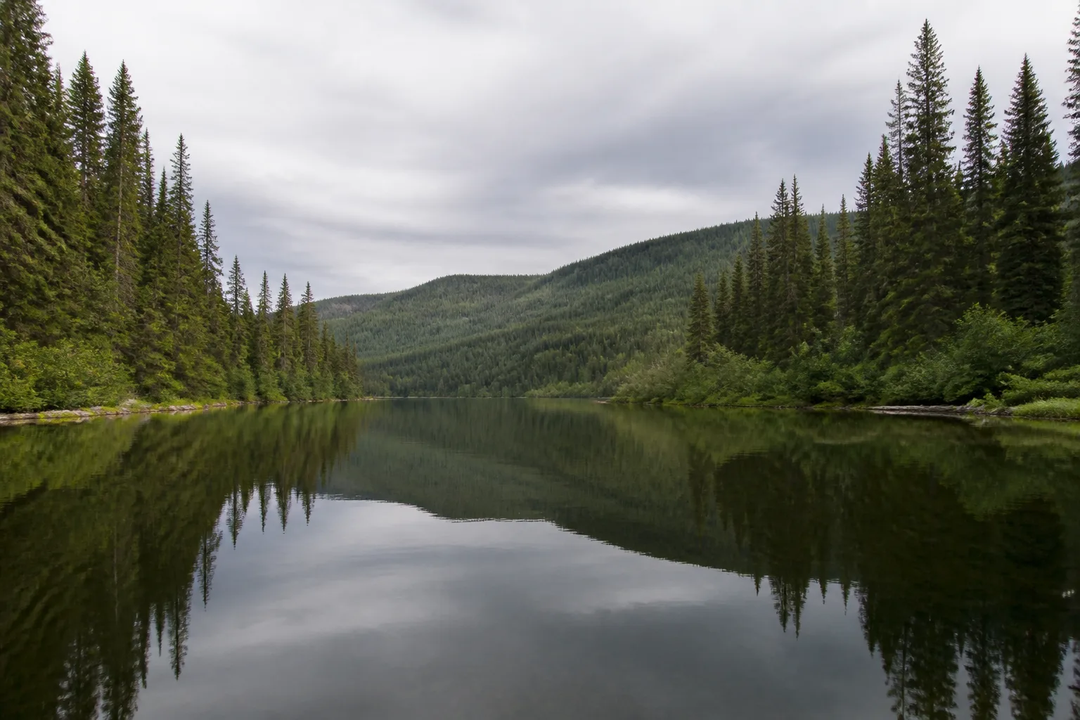
The 2 km portage to Indianpoint climbs for its first kilometre, then flattens and rolls downhill — give yourself about an hour. Indianpoint is a narrow, calm lake more than twice Kibbee’s length, and after two of the circuit’s longest portages back-to-back, it makes an honest first night.
Site #3 sits just south of the portage — turn right as you enter the lake — and most of the rest line the north shore (#4, #5, #6, #8, with #9 at the far end and group site #7 about two-thirds along). If it’s getting late, take the first space you see rather than gambling on the sites ahead: miss them and there’s another portage between you and the next bed. The sites here are treed rather than sandy, and the lake fishes well if you have daylight to spare.
3Indianpoint Portage & Isaac Lake
Paddle up to 38 km
1–2 days
Camps #10–#29
Indianpoint ends in a marshy slough — follow the orange channel markers through the shallows to the portage. The 1.6 km trail has a couple of narrow wooden bridges and can get muddy at the far end; there are two put-ins, so if the first looks like soup, carry on to the second. Isaac fishes well — many parties drop a line the moment the canoe is loaded.
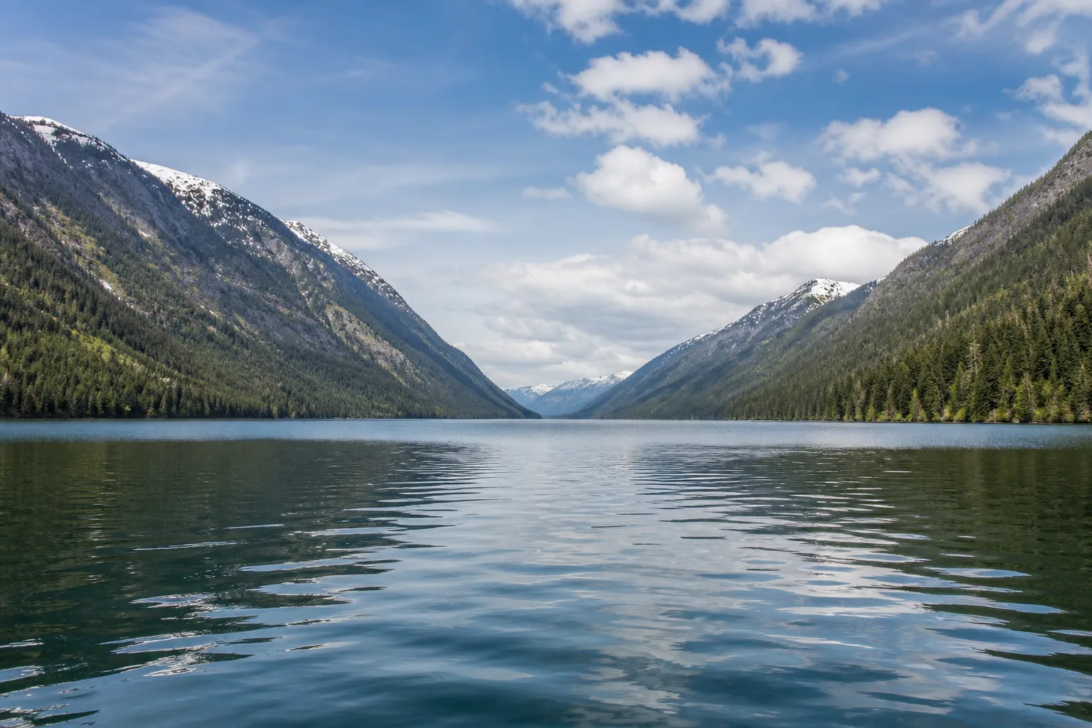
Isaac Lake is the giant of the circuit: a 6.8 km west arm, then a bend at Wolverine Bay into a long arm you can’t see the end of. Sites #10, #11 and #12 cover the west arm; at the bay itself you’ll find #15, #15a and #16 on the north shore (#15 is large, with a covered cooking shelter) plus group site #14 — and this corner is a favourite haunt of moose.
The long arm takes at least eight hours of paddling, so most parties split Isaac over two days. Every site on it except the group site is on the east shore — in weather, hug that side so a landing is never far away. Several sites have real beaches; break the day up with a swim. The big #28/#29 site at the lake’s end is popular and busy (#29 is the group portion — leave it for groups), and it’s the smart place to sleep before the circuit’s most technical stretch.
4Isaac River: the Chute, the Rollercoaster & McLeary
2–3 hrs
Camps #30–#31
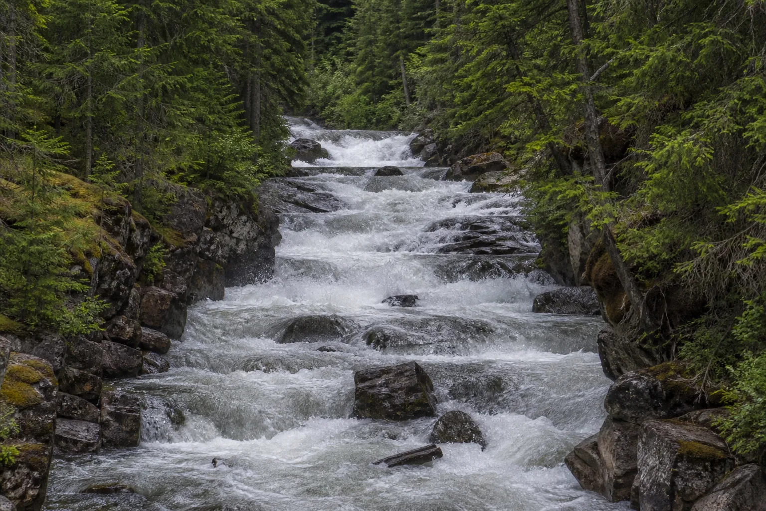
At the end of Isaac you have the circuit’s big decision: run the Chute, or walk around it. The Chute is a fast-flowing squeeze of the Isaac River right at the lake’s exit, followed by the Rollercoaster — a train of standing waves. Pull out above it, walk down, and look before you choose; depending on the season it’s anything from a fun ride to a genuine challenge. If you run it, PFDs on and gear strapped in — or portage your bags and paddle the canoe through empty. If you’d rather skip it entirely, a 1.2 km portage starts at the sign on the left side of the big pool above the cascades.
Below the Rollercoaster, get out on river-left for a 500 m portage (watch for the marker on the west bank), then run a final 700 m of easy river — at low water there’s one mid-channel rock to steer around.
A large sign on this stretch tells you to get out — take out at the marker on the right bank immediately. Past it, the current leads straight over the Isaac River waterfall. There is no second chance below this point.
The last portage of the stage is short but bumpy, dropping downhill to McLeary Lake. Keep an eye left as you descend: a short side-path leads to a view of Isaac Falls that’s absolutely worth the pause. At the bottom, site #30 sits right beside the trail with the river sliding past — a lovely camp — and tiny #31 (one tent pad beside an old cabin) waits on McLeary itself. That’s the technical crux done: congratulations.
5McLeary Lake & the Cariboo River
About 1 hr
Moving water
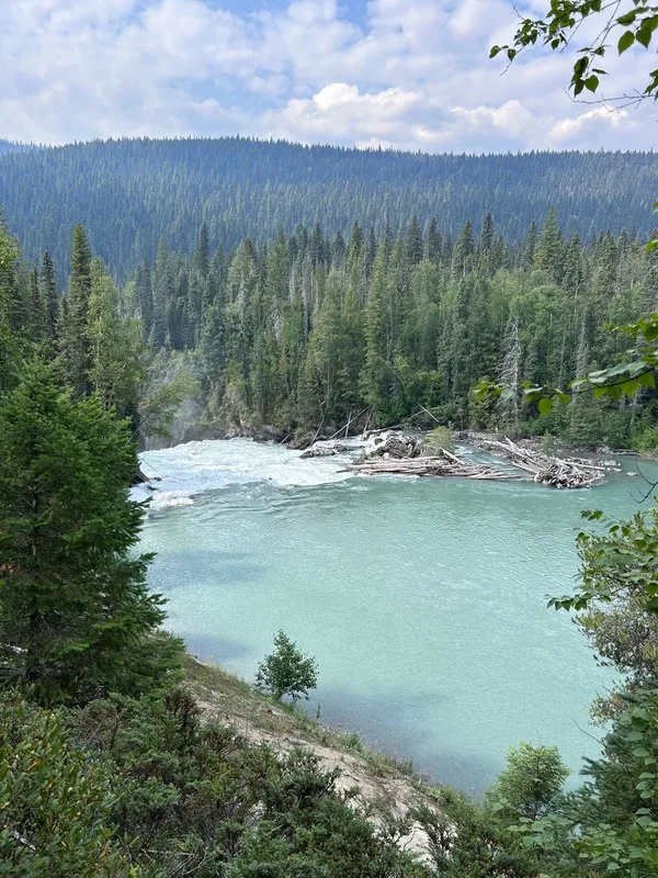
McLeary is a beautiful pocket of a lake — 1.2 km across, ringed by mountains, and a perfect first paddle of the morning if you camped at #30 or #31. From there the current hands you to the Cariboo River: swift, reasonably wide, and one of the best wildlife stretches on the circuit. You can ship your paddle and ride it — just keep steering.
The Cariboo is prone to log jams, submerged deadheads and sweepers along the banks. Stay alert the whole 5.2 km, keep away from the outside of bends, and know your low brace before the trip.
Where the river opens into Lanezi Lake, big sandbars make a natural break spot — pull off, stretch, and have a snack before the long lake ahead.
6Lanezi & Sandy Lakes
4–5 hrs
Camps #32–#39
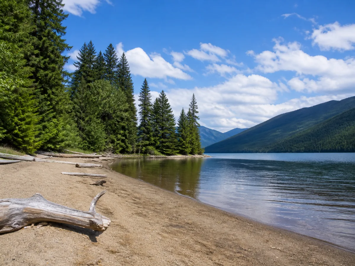
Lanezi runs close to 15 km through steep country and has a habit of turning windy — hug the north shore, where the campsites are, so you can pull out if the water gets big. Turner Creek (#33, with a covered picnic shelter) sits just a few kilometres in and is the go-to refuge when the weather isn’t cooperating; sites #34 through #37 continue along the shore, and #37 ends the lake with a big sandy beach that begs for a swim stop.
A short, gentle reach of the Cariboo River — 1.2 km, barely any current — links through to Sandy Lake, which lives up to its name: about 5 km long with beachy sites along the north shore. #37a puts five tent pads right on the beachfront, and #38 and #39 near the far end are just as good. Any of them is a fine night. Leave the rod packed here; the fishing in Lanezi and Sandy is poor.
Across Sandy Lake from site #38, a yellow marker on shore flags the Hunter Lake trailhead: a 1.2 km walk uphill to a quiet little lake that few circuit paddlers ever see. Worth the detour if you have the afternoon.
7Unna Lake & the Cariboo Falls Hike
Hike 3 km return
Camps #40–#42
Unna isn’t on the direct route — and you shouldn’t miss it. Leaving Sandy Lake you’re back on the Cariboo River with a lazy current. About 4 km along (an hour’s paddle) you pass the Babcock Creek turnoff on your right — that’s your exit for the circuit, remember it — and 400 m further, the entrance to Unna Lake opens on your left. Look carefully; it’s easy to slide past.
Past the Unna entrance, the Cariboo River runs on to Cariboo Falls. If you miss the lake entrance, turn around and paddle back upstream — do not let the current carry you further.
Unna itself is a little gem with three campsites — #40 is one of the largest on the circuit at 13 tent pads, and #41/#42 are group sites tucked on Rum Lake, the small pond off Unna’s side. From the south end of the lake, a 3 km round-trip trail leads to the top of 24 m Cariboo Falls. Go — the view is worth every step, and in late summer the trail can be lined with blueberries. That also makes it bear country: make noise and keep your group together. When you’re done, exit the lagoon and paddle back upstream to the Babcock turnoff.
8Babcock Creek & Babcock Lake
Paddle 2.8 km
~2 hrs
Camp #43
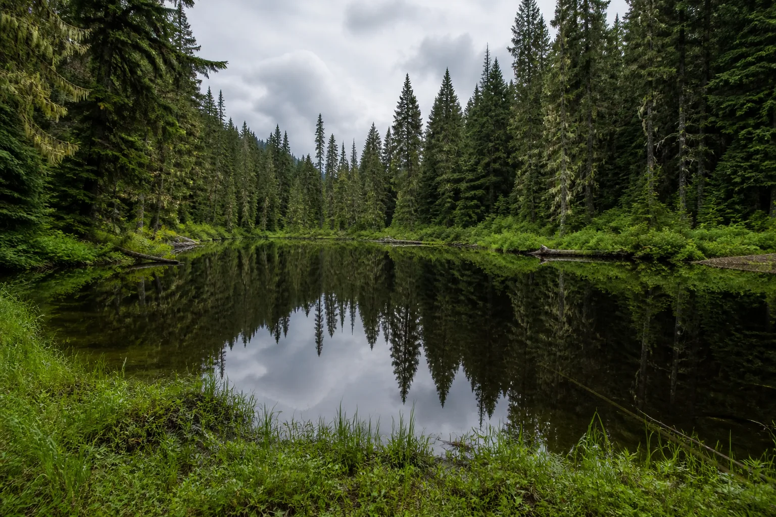
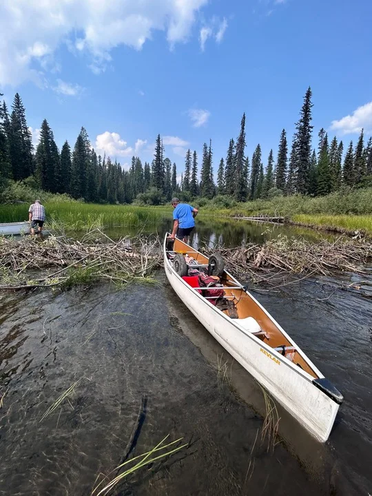
Babcock Creek is shallow — late in the season you may hop out and wade the first stretch, and the local beavers occasionally add a small dam to lift over. The creek section is short; you’ll soon pull out for a flat 1.2 km portage to Babcock Lake. Site #43 sits at the start of the portage if you need it (fair warning: it can be buggy).
Babcock Lake itself is small and marshy — 2.8 km of quiet water where moose and beaver sightings are common, and worth a cast if you fish. The whole stage takes a couple of easy hours.
9Skoi Lake — Your Last Portage!
Paddle 800 m
Under 1 hr
Camp #44 ahead
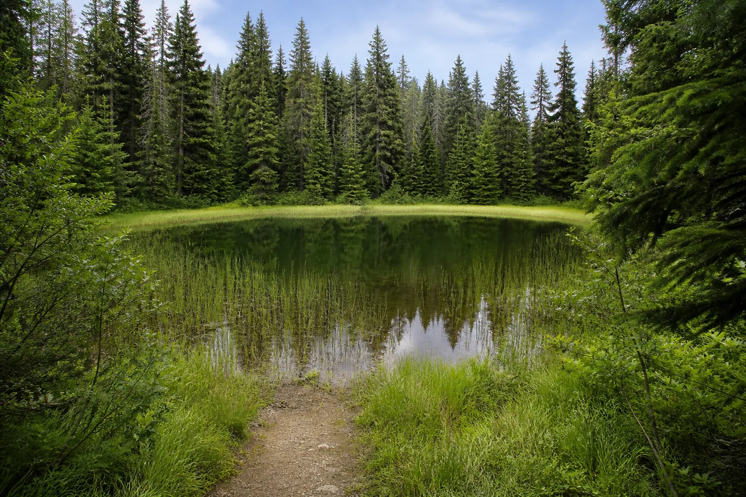
Two flat 400 m carries bracket tiny Skoi Lake — 800 m of water that punches above its weight for wildlife watching. The second carry deserves a small ceremony at the far end: it’s your last portage of the circuit. The cart has earned its keep. A cozy treed site (#44) waits just beyond, at the head of Spectacle Lakes.
10Spectacle Lakes
~1.5 hrs
Camps #44–#46
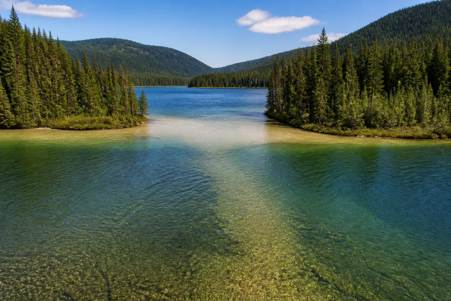
The Spectacles are two narrow lakes joined by a pinch of water — 5 to 6 km all told, an easy hour and a half with good odds of wildlife along the shores. Site #45 sits on the eastern shore just past the narrows (keep right), and #46 faces Pat’s Point from the far shore. Note: the BC Parks map still shows #46 as a regular site, but it’s now a group site — plan around it if you’re an individual party.
Late in summer a sandbar can surface in the narrows between the two Spectacle Lakes. If it’s too shallow to paddle, hop out and tow the canoe through — it’s brief.
Spectacle pours straight into Swan Lake with no portage — you won’t even leave the boat.
11Swan Lake & Pat’s Point
1.5–2 hrs
Camps #47–#54
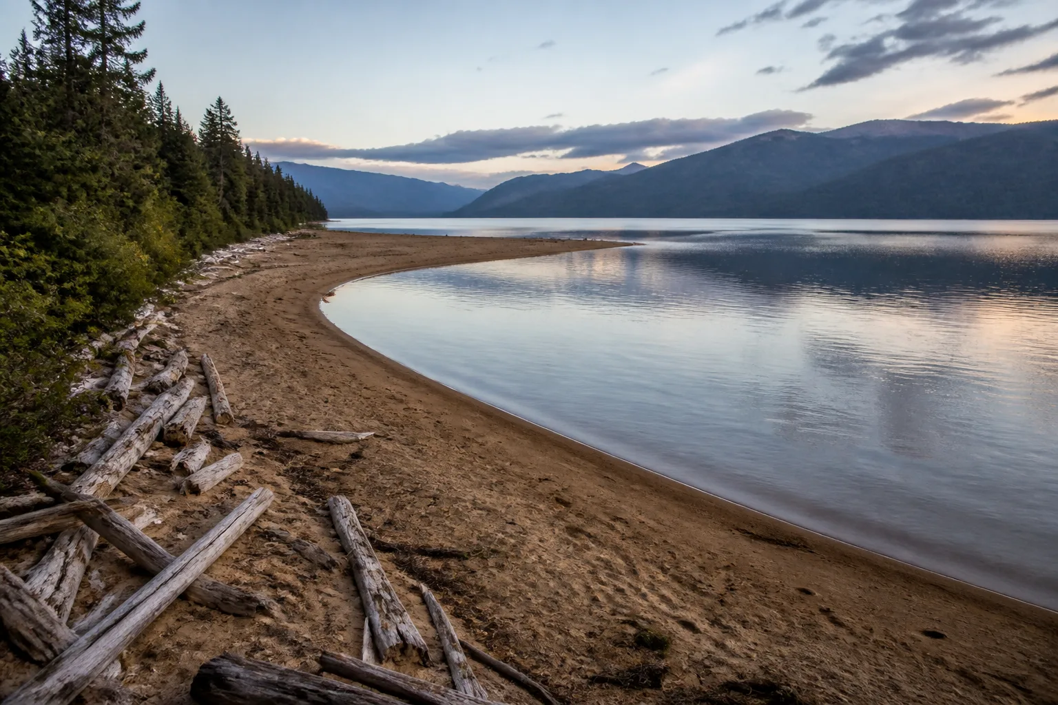
Where Spectacle meets Swan is Pat’s Point — the classic last-night camp. #48 is a big site (nine tent pads) with a long sandy beach running out to a point, a covered picnic shelter, and an emergency cabin; group site #47 sits alongside. Because West Side trippers turn around here, these sites see more use than most — arrive on the early side.
Swan Lake runs about 8 km, narrow like Spectacle, with sites dotted down the western shore (#49–#52). Paddle the east side of Pavich Island, just past halfway, and you’ll thread a channel that’s alive with birds. At the far end, #53 and #54 sit sheltered in the trees near another emergency cabin — no beaches, but good cover if the weather’s turning.
Pavich Island — please stay off
Pavich Island was used generations ago to quarantine influenza patients, and many people died here. Admire it from the water and let it rest — please don’t land or explore.
12Bowron River
~1 hr
Wildlife-rich marsh
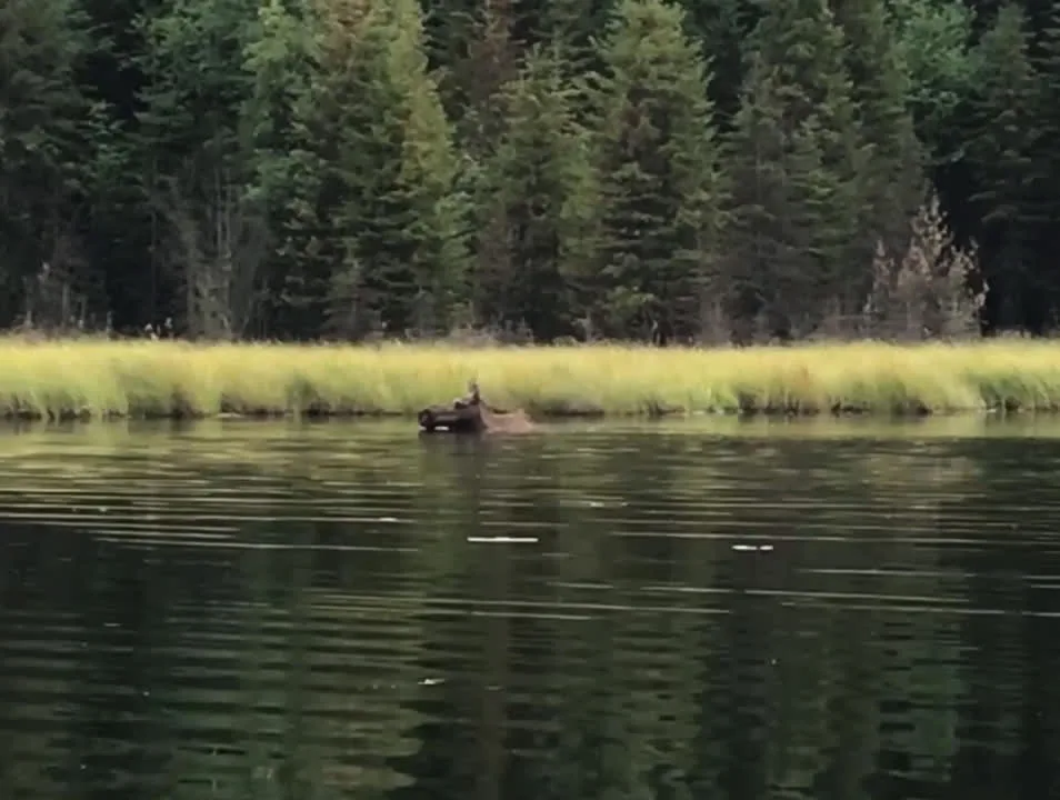
Watch carefully for the markers into the river mouth at the end of Swan — in late summer it can run shallow enough that you’ll wade the canoe in. Then the Bowron River takes over: a gentle current winding through an oxbow marsh of tall grasses, and the best wildlife water of the whole trip. Moose, beaver, otter and birds in every direction — drift and watch, or paddle lightly and make surprising speed.
Side channels peel off through the marsh, and the area is big enough to get properly turned around — stay with the orange markers the full 4 km.
13Bowron Lake — the Finish
~1.5 hrs
Finish: Registration Centre
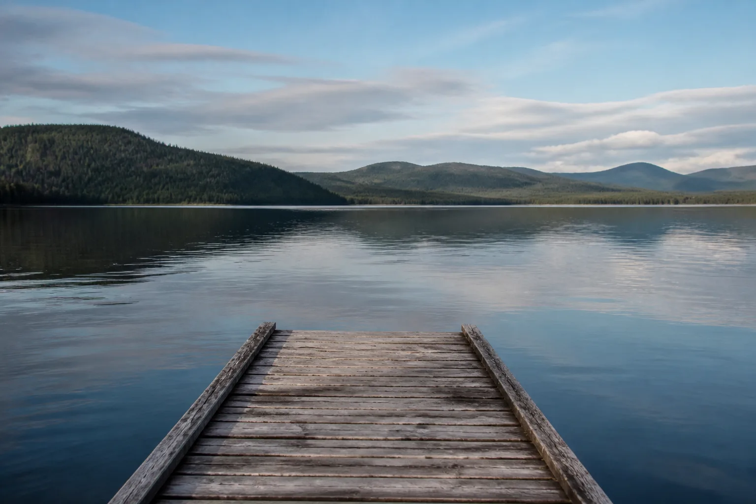
One last push: 7.2 km down Bowron Lake. This is the only lake on the circuit that allows motorboats, so keep to the east shore and keep your eyes up. There are a few pull-offs for a snack, but no more campsites — the finish line is close.
The park dock hides at the end of the lake on the eastern side — small, unmarked, and easy to miss until you’re nearly on it. Haul out, stretch, and take the trail back to the Registration Centre. If you rented from us, rinse and return the canoe by 3 pm — and either way, come tell us you’re off the water. We keep track of every party’s safe return, and we genuinely love hearing how it went. 116 km — what an accomplishment.
Paddle it with our fleet
Canoes and carts waiting at the Registration Centre — the start and finish of everything above.
Canoes waiting at the start and the finish.
Book a CanoeLive availability on FareHarbor · no shuttling required